Multnomah Falls
Multnomah Falls is a waterfall in Multnomah County, Oregon, about 14 miles east of Troutdale. The Forest Service lists it at 620 feet (two tiers, 542 ft and 69 ft). It sits in Columbia River Gorge National Scenic Area.
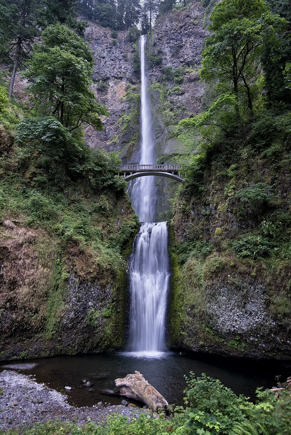
Before you go
- Columbia River Gorge National Scenic Area is run by the Forest Service, part of the United States Department of Agriculture. Its website lists road and trail closures, parking passes and fire restrictions.
- Rocks near falling water are slippery even when they look dry. Stay behind railings, keep off the top of the falls, and do not swim unless signs say it is allowed.
More on staying safe: waterfall safety tips.
Other falls near Multnomah Falls
Within 15 miles, by straight-line distance.
-
Lower Multnomah Falls
-
Shady Creek Falls
-
Dutchman Falls
-
Ecola Falls
Multnomah Falls questions
Where is Multnomah Falls?
Multnomah Falls is in Multnomah County, Oregon, about 14 miles east of Troutdale. Its mapped point is at 45.57595, -122.11519; use the directions link for a driving route, and check where the trail or viewpoint starts.
How tall is Multnomah Falls?
The Forest Service gives 620 feet (about 189 meters), two tiers, 542 ft and 69 ft.
How far is Multnomah Falls from Portland?
About 26 miles in a straight line from the center of Portland, Oregon. The drive is usually longer, especially on mountain roads.
More nearby: all falls in Multnomah County, waterfalls near Portland, Oregon waterfalls.