Proxy Falls
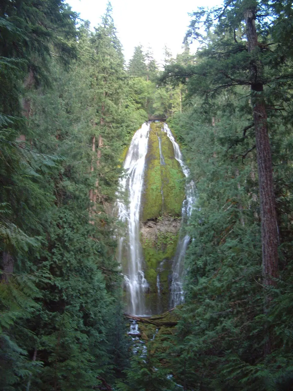
Proxy Falls is a waterfall in Lane County, Oregon, about 19 miles southwest of Black Butte Ranch. OpenStreetMap records its height as about 226 feet (69 m).
Before you go
- We have not verified who manages the land, the trail, or parking here. Check a recent trail report or the local land manager before you go, and never cross fences or posted private land.
- Rocks near falling water are slippery even when they look dry. Stay behind railings, keep off the top of the falls, and do not swim unless signs say it is allowed.
More on staying safe: waterfall safety tips.
Other falls near Proxy Falls
Within 15 miles, by straight-line distance.
-
Upper Proxy Falls
-
Rainbow Falls
-
Honey Creek Falls
-
Obsidian Falls
-
Indian Hole Falls
-
Horse Creek
Proxy Falls questions
Where is Proxy Falls?
Proxy Falls is in Lane County, Oregon, about 19 miles southwest of Black Butte Ranch. Its mapped point is at 44.16201, -121.92776; use the directions link for a driving route, and check where the trail or viewpoint starts.
How tall is Proxy Falls?
OpenStreetMap records about 226 feet (69 meters). Mapped heights are rough; other sources may give a different figure.
How far is Proxy Falls from Bend?
About 31.6 miles in a straight line from the center of Bend, Oregon. The drive is usually longer, especially on mountain roads.
More nearby: all falls in Lane County, waterfalls near Bend, Oregon waterfalls.